ARCTIC ADVANCE 2009 ARCTIC ADVANCE 2009
Nordkinn
klik hier om dit in het nederlands te lezen
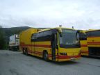
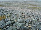
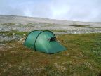
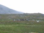
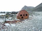
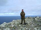
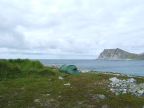
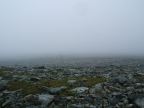
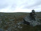
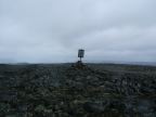
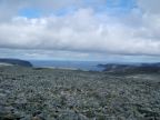
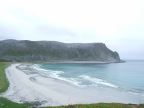
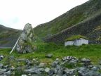
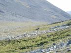
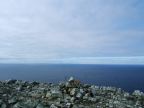
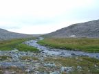
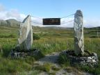
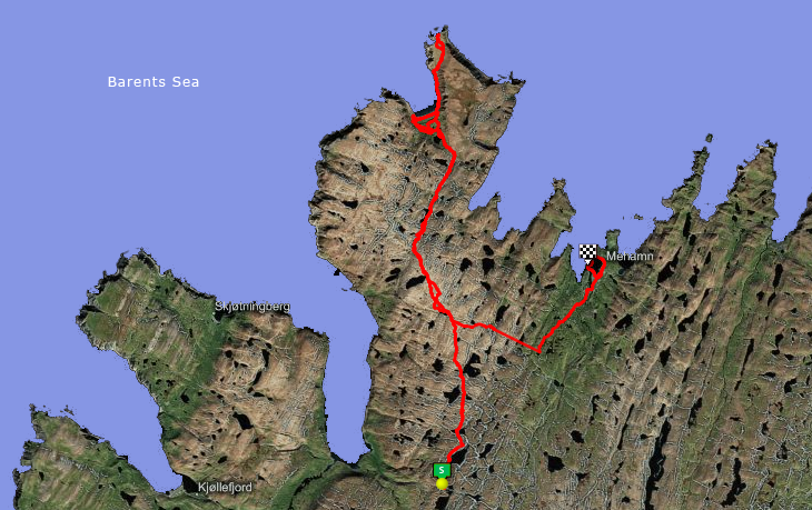
The northernmost point of mainland Europe is not the North Cape, which lies on an island, but the Nordkinn. In contrast to the North Cape, which has become a tourist attraction, the Nordkinn is accessible only after a journey on foot over a wild area. Since several years, the route marked with cairns, but this does not mean that there is a good path throughout... Friday, July 17 Early rise to get the 0515 bus! First to Lakselv, then change the bus to Kjøllefjord. This is a mixed bus, half-truck, which also supplies the stores in the villages and distributes mail. The driver put me around 1115 at the start of the path, on the road to Kjøllefjord. The path is initially well delineated with cairns, at Storvatnet it's time for a lunch break. The afternoon the weather is much worse, it rains and it is cold, no more than 5 °C! The terrain is difficult to pass, one can not speak of a path anymore, it is a stone desert. In the evening pitch at a lake, a rare patch of grass, only 12.3 kilometers today. Saturday, July 18 The going is still difficult, but becomes more practicable at the valley of Sandfjordelva. One can even speak of a path. The valley leads to a gree plateau in the bay of Kinnar-SandFjord, with a beautiful wide sandy beach on the Barents Sea. A very nice place to set up a base camp, after some looking for the best location (with sea views and proximity to flowing fresh water). There is a herd of reindeer in the area, and a fox. The weather remains bad, and Kinnarodden is shrouded in the fog. Not ideal conditions ... 15.3 km today. Sunday, July 19 The morning sky cleared somewhat up and I venture out. A bit along the rocky coast, past the derelict bothy at Roren, then a steep 100m climb up to the Nordavinskardet valley which segregates the Kinnarodden cape proper. Another climb of 100m and there I am standing on the Nordkinn, 237m above the Barents Sea! The northernmost point of Europe! Between here and the North Pole, there is nothing more. The weather is clear, the sun shines even! Monday, July 20 Bad weather again. Thick fog over the stone desert, which makes navigation difficult. Lunch at a lake. The afternoon is better, with a greener and more passably terrain, and at 1800 Mehamn is reached, where the official trail departs from the airport. The hostel is fully booked but one may be camping next to it. At night a pint in the village, the trip is almost up, 19 km today! Visit Nordkinn is a worthful experience, but the going remains fairly heavy and good navigation skills are required especially in bad weather. |
All photos © LHOON available under Creative Commons license
